")

Related Products
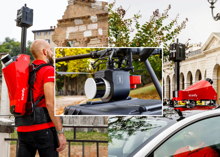
Custom prototype for related productsCustom prototype for related products
Terrasolid is the industry standard software for point clouds and images processing, developed specifically for the demanding requirements of geospatial, engineering, operations and environmental professionals.
Our software suite provides versatile and capable tools to create 3D vector models, feature extractions, orthophotos, terrain representations, advanced point cloud visualizations, etc., no matter the data source, no matter the sensor. The finest tools for calibration and matching of point clouds for LiDAR data are included.
INDUSTRIES
 |
 |
 |
||
|
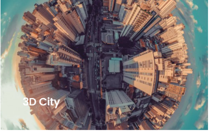
Produce highly accurate 3D building and terrain models automatically from airborne laser data and images. |
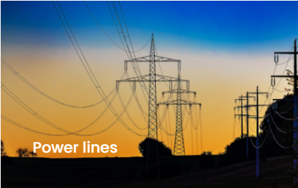
LiDAR is an the most efficient and reliable way of mapping powerlines and the surrounding terrain features, vegetation, building and other structures no matter the accessibility. |
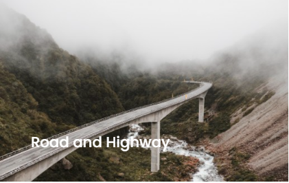
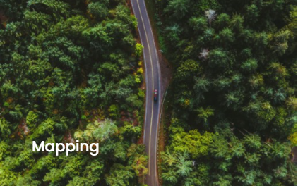
Road construction & maintenance are mainline applications for LiDAR scanning. A newly build road needs to be checked as part of the BIM process whether it matches with design parameters. Road maintenance measures should be addressed effectively in order to save costs. |
||
 |
 |
 |
||
|
Airborne, mobile and unmanned laser scanning offer the fastest, safest and most accurate way of gathering geo-referenced 3D data under the least favorable conditions. |
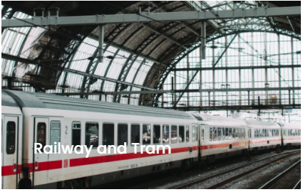
With scanning systems featuring a smaller laser beam footprint, full waveform capabilities, and possibly additional sensors for producing supportive data even more information can be determined. | A mobile LiDAR sensor can quickly acquire geo-referenced 3D spatial data on railway or tram infrastructure from a sensor platform mounted on a railroad engine, rail car, or tram without putting people into danger or disrupting the normal traffic along the tracks. | ||
 |
 |
|||
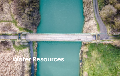
| The directive instructs countries to produce flood risk maps and to take adequate measures to reduce the risk of flood damage for human safety, environment, infrastructure and property. | The main advantages of LiDAR are accuracy of measurements, fast data capture, object detection using high automation. It can be used to generate detailed topographic maps and retrieve digital elevation data. |
PRODUCTS
 |
 |
||
| TerraScan is the main application in the Terrasolid Software family for managing and processing all types of point clouds. It offers import and project structuring tools for handling the massive number of points of a laser scanning campaign as well as the corresponding trajectory information. | With TerraModeler you can create, edit, and utilize surface models. TerraModeler creates surface models (TINs) from various sources, such as LiDAR points stored in binary files or loaded in TerraScan, XYZ ascii files and graphical design elements. | ||
 |
 |
||
| TerraMatch is a sophisticated tool for improving the accuracy and quality of the raw laser point cloud. It compares laser data from overlapping flight or drive paths and calculates correction values for the misalignment angles as well as xyz location errors. | TerraPhoto is specifically developed for processing images captured together with laser data during a survey mission. The software enables the production of rectified images and ortho mosaics based on ground model that has been extracted from the laser data. |