
")


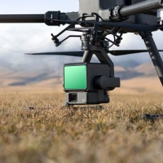


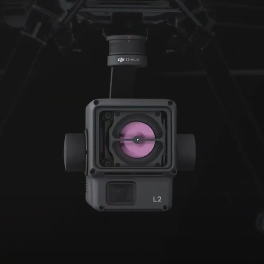
DJI Zenmuse L2
Sku: dji-zenmuse-l2
Instant Clarity. Superior Accuracy.
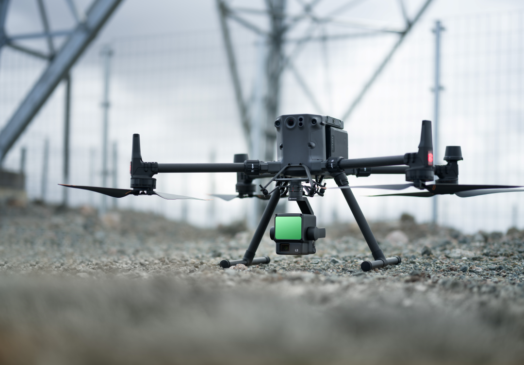
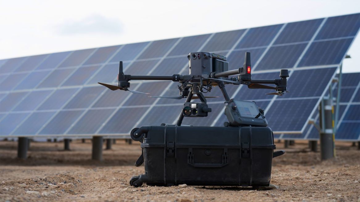
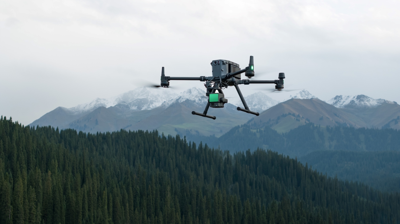
DJI L2: A Lidar + RGB Solution for Aerial Detection
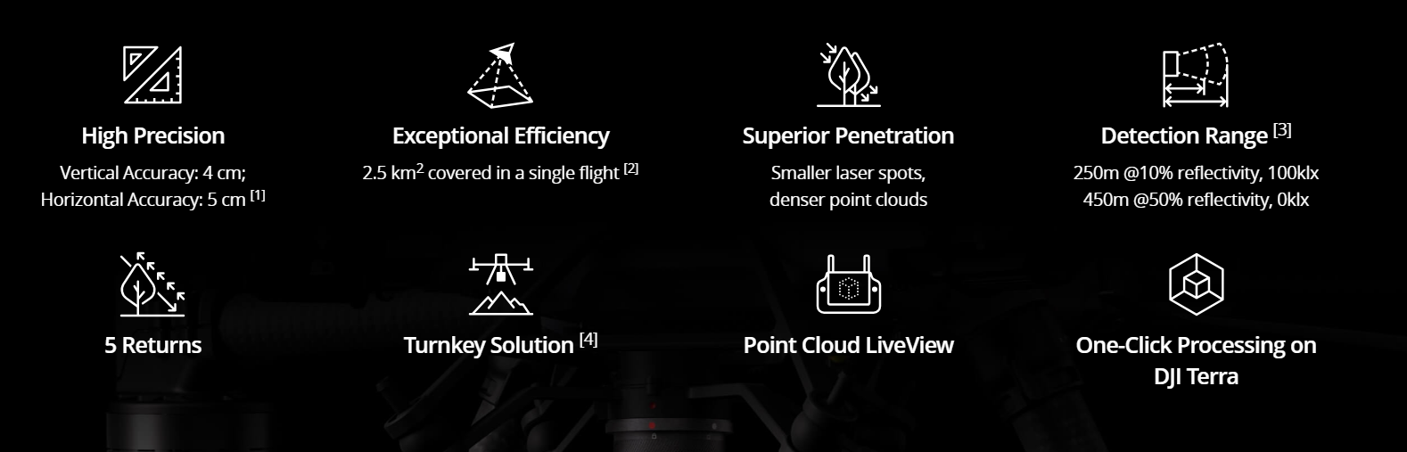
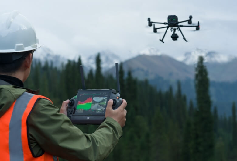
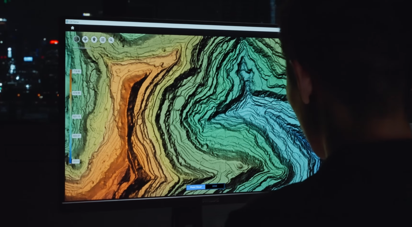
Zenmuse L2 integrates LiDAR frames, an in-house developed high-precision IMU system, and a 4/3 CMOS RGB mapping camera, providing DJI flight platforms with more accurate, efficient, and reliable geospatial data acquisition. When used with DJI Terra, it offers a turnkey solution for high-precision 3D data collection and post-processing.
Integrated LiDAR solution
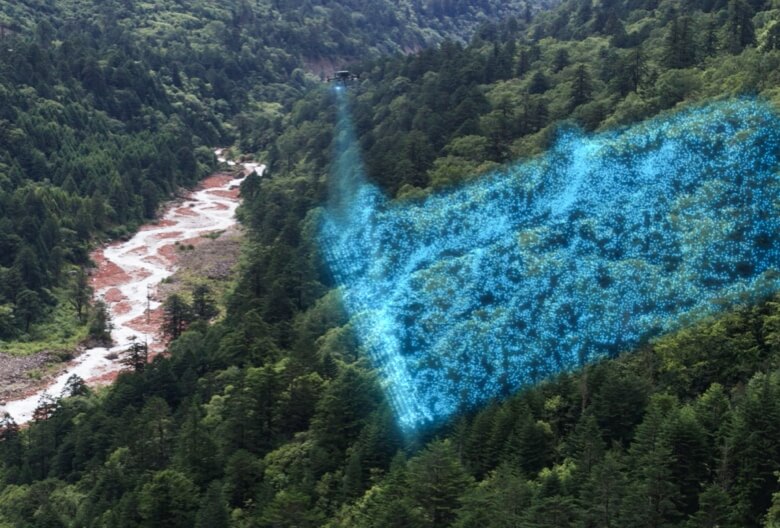
Supported by its powerful hardware, Zenmuse L2 can enable precise scanning of complex subjects within an extended range and faster point cloud capture. During operations, users can preview, play, and process point cloud models in place, with task quality reports generated by DJI Terra, offering a simple and comprehensive solution to improve overall efficiency. This allows users to achieve high-precision point cloud results with unique post-processing.
30% increase in detection range |
Punti laser più piccoli, nuvole di punti più dense |
|
|
|
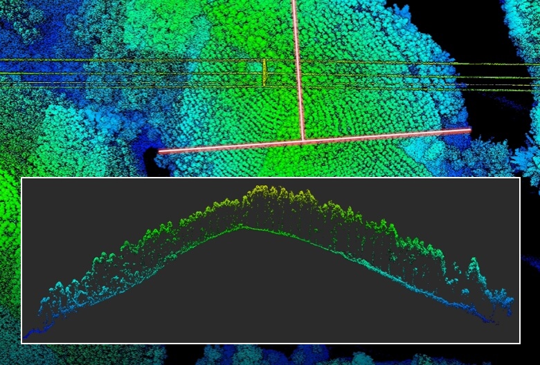
With a reduced spot size of 4×12 cm at 100 m, only one-fifth that of L1, L2 not only detects smaller objects with more detail, but can also penetrate denser vegetation, generating more accurate digital elevation models (DEMs). |
|
Supports 5 returns |
Effective scan speed: 240,000 dots/s |
|
Thanks to this technology, in densely vegetated areas, L2 can capture more points of the ground under the foliage. |
|
|
|
|
|

LA TECNOLOGIA
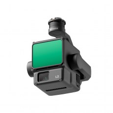
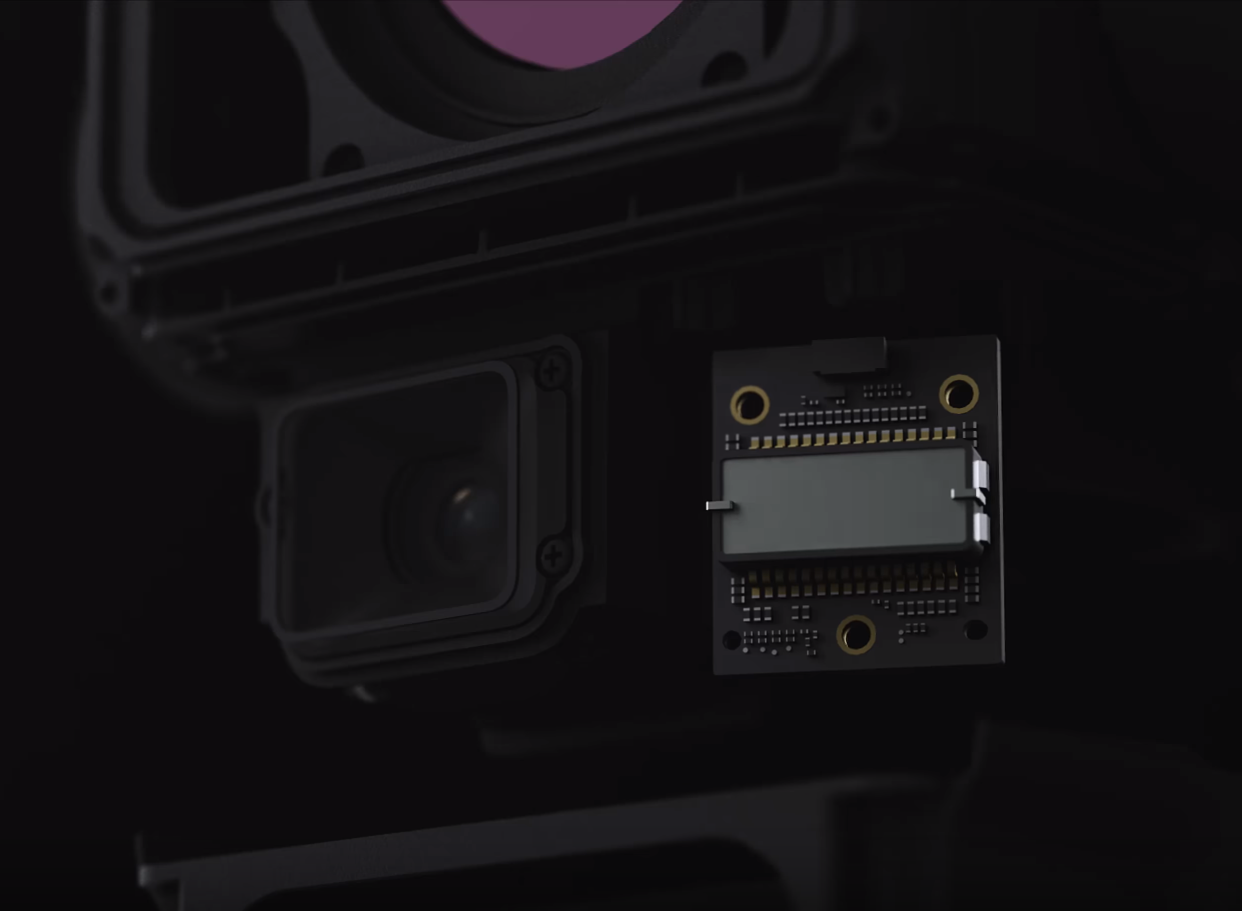
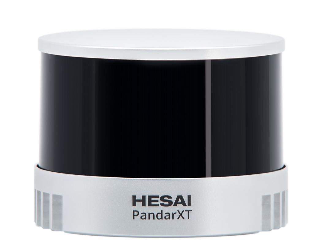
Livox Lidar Module |
Fotocamera RGB |
|
-Lidar framing with up to 100% effective point cloud results - Detection range: 450 m (80% reflection, 0 klx) / 190 m (10% reflection, 100 klx) - Effective point rate: 240,000 points/s - Supports 3 returns - Non-Repetitive Scan Pattern, Repetitive Scan Pattern |
- 20 MP - 1" CMOS - Mechanical shutter |
|
IMU ad alta precisione |
Misurazione e annotazione e Post-elaborazione one-stop |
|
| - Vision sensor for positioning accuracy - GNSS, IMU, RGB data fusion |
|
IMPROVED OPERATIONAL EXPERIENCE
|
Exceptional Efficiency
|
Intuitive Operation
|
|
One-click processing
|
High-level accuracy
|