
")


PIX4Dmapper
Sku:
The leading photogrammetry software for professional drone mapping
Capture

Capture RGB, thermal, or multispectral images with any camera.
If you are using a drone, automate flight and image-data transfer with our free PIX4Dcapture app.
Photogrammetry solution to power applications across industries
The power of photogrammetry software
A unique environment connecting your original images to each point of the 3D reconstruction to visually verify and improve the accuracy of your project.
Accurate 3D maps and models, purely from images
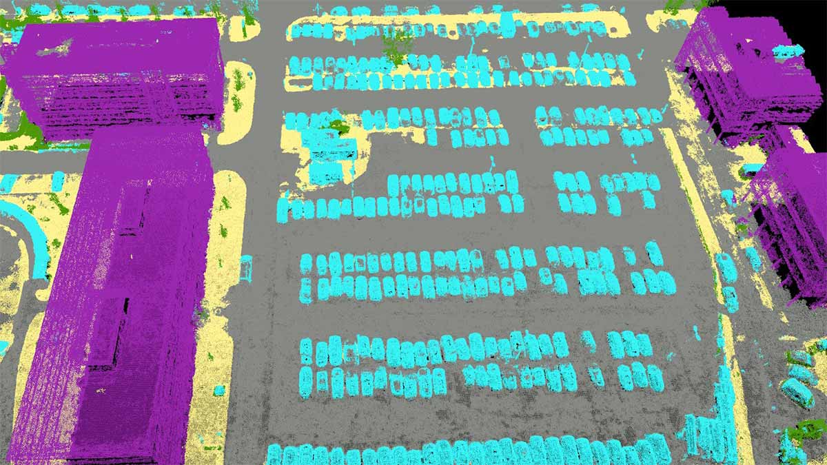
-AUTOMATIC POINT CLOUD CLASSIFICATION
-FLATTEN & SMOOTHEN DIGITAL SURFACES
-EASILY MEASURE SURFACE, DISTANCE & VOLUME
-CONTROL OVER THE PROJECT ACCURACY
-DETAILED QUALITY REPORT
Generate high resolution outputs for any project and use case
Easily export your digital maps and models to industry-compatible formats for further analysis or reporting