
")

.png)
PIX4Dfields
Sku:
Advanced agriculture mapping software for aerial crop analysis and digital farming.
The ultimate agricultural tool kit

Inspect, analyze, and visualize changes in your fields
Fast and accurate processing
Process images with the PIX4Dfields instant processing engine and get results in minutes in the office and in the field. No internet connection required.
Generate indices
Use the predefined list of agricultural indices or enter your own custom index formula to better understand the stress on your plants.
Zone and prescribe
Aggregate vegetation index map information into zones and assign application rates.
Magic tool
AI-assisted selection tool to quickly detect and select weed patches, damage, and other anomalies in orthomosaic and index layers.
Measure and annotate
Add annotations and measure important agricultural areas.
Targeted operations
Create highly customizable maps with variable rates and localized spraying for spray drones, tractors, and field sprayers.
John Deere Operations Center
Upload aerial maps, crop health maps, field boundaries, and prescription maps directly from PIX4Dfields to your operations center.

Automate the classification of objects or regions
-AST MAPPING
-INDEX GENERATION
-ZONING AND FORECASTING
-COMPARISON
-MEASURE AND ANNOTATE
-STATISTICAL FORMULAS
-EXPORT PDF REPORTS
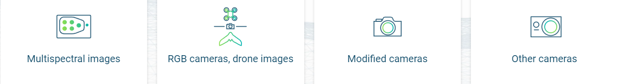
Use aerial images to make the invisible visible
Create and analyze real-time maps of your crops to improve your workflow
Easily explore your company and generate the appropriate output for your needs.
