
")


DJI TERRA
Sku:
Photograph, analyze and visualize the environment around you with DJI Terra, a practical mapping software developed to transform real images into digital assets.
Plan. Process. Analyze. Do it.
Digitize your world
Building
Accurate collection, measurement and analysis of the data of each project.
Infrastructure
Simple but detailed inspections on complex structures and scenarios.
Power
Safely inspect assets and vertical structures, with specific optimization for power lines
Public security
Speed and efficiency for critical information acquisition on site.
Agriculture
Accurate assessment of cultivated land to maximize yield.
Filmography
Pre visualization of the shooting piano to optimize the organization of the crew's work.
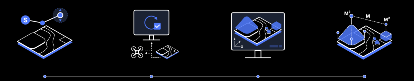
Mission planning
Create effective flight paths thanks to the use of predefined waypoints and the ability to adjust parameters such as altitude, speed, camera tilt angle, aircraft orientation and much more.
For more elaborate and complex missions, which require extreme precision, the 3D flight visualization function allows you to design and simulate missions on the three-dimensional models created.
Real-time 3D mapping
When efficiency is the key, quickly rebuild and visualize a 3D model of the mapped area. Make decisions based on preliminary models and check completeness now or plan 3D flights on site.
3D reconstruction
Clear and realistic representations of the surrounding environment for specific applications such as accident reconstruction, construction site supervision for large-scale projects and much more.
Thanks to Region of Interest (ROI), it is possible to perform image reconstruction on a specific target region. In turn, this operation reduces processing times and improves efficiency, while generating a clearer model or point cloud.
Computational method
Stand-alone calculation
Processing is performed using a single computer. Suitable for reconstructions with a limited data set.
Cluster computing
Multiple computers process data simultaneously, with significantly higher efficiency. Suitable for large-scale reconstructions.
It supports fully automated aerial triangulation cluster calculation and inspection level accuracy can be achieved without ground control points. 64GB of memory can handle 400,000 images.
2D multispectral reconstruction
Using multispectral data from P4 Multispectral, generate radiometrically calibrated reflectance maps for remote sensing research and more, or produce vegetation index maps including NDVI and NDRE, to collect useful information that improves crop yield and helps in managing crops plant.