3DT-SCANFLY™: Your point clouds, at their best!
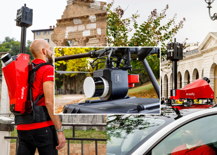
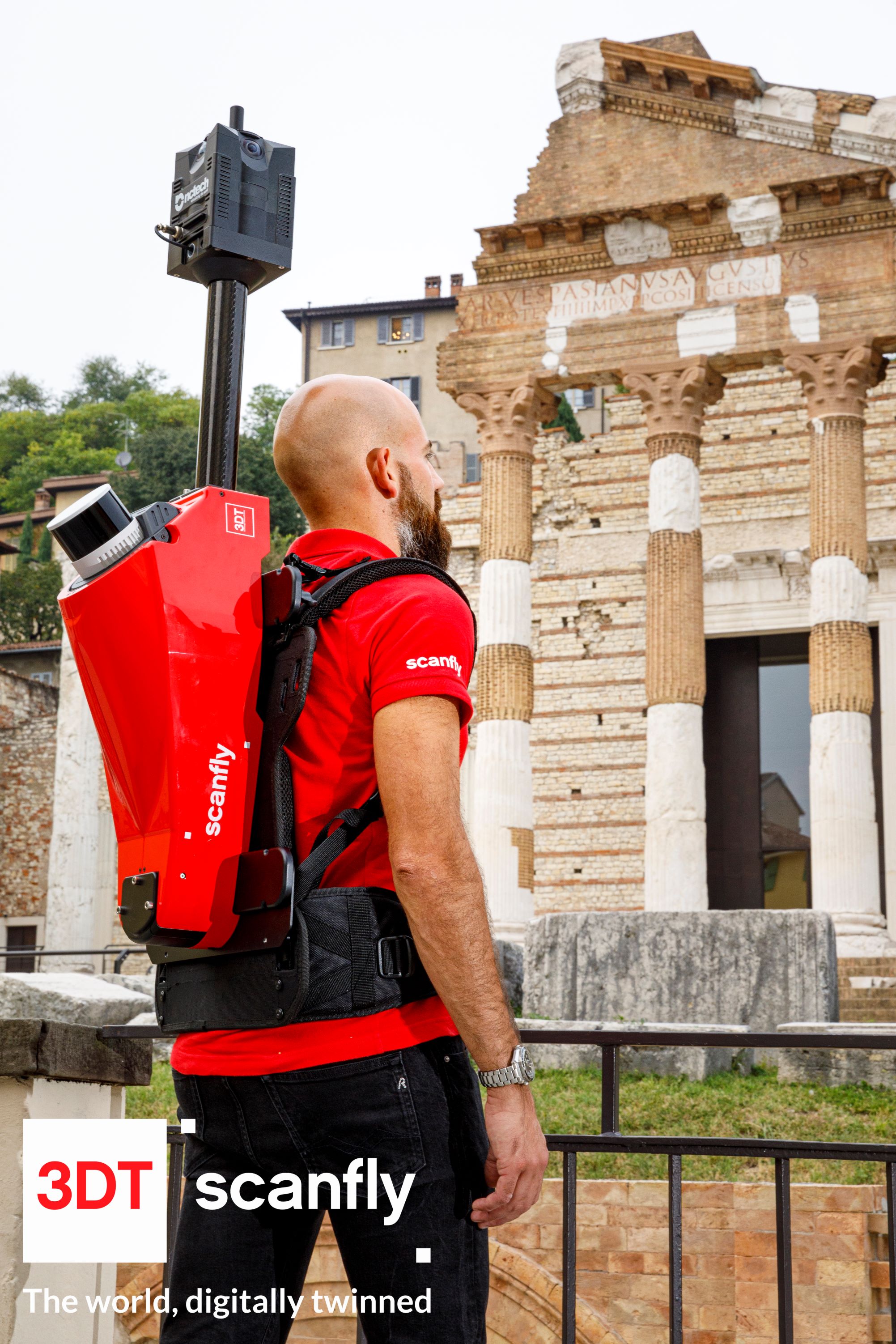
Scanfly, 3DT's compact high-performance mapper. Designed for excellence, this multiplatform LiDAR solution operates without compromise in even the most challenging GNSS conditions, from tunnels to dense urban canyons. When unprecedented accuracy meets versatility. Redefine mapping: anytime, anywhere with Scanfly!
Visit the dedicated website for more details: WWW.SCANFLY.IT
|
Scanfly PRO - Flying
|
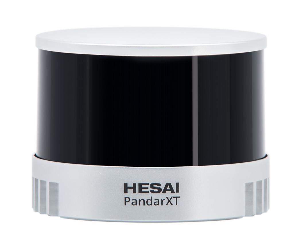
SCANFLY PRO ESSENTIAL FEATURES: Triple return 32 channels 10mm accuracy range Up to 1 920 000 dots per second 360° horizontal FOV Low power consumption Protective design High performance IMU Dual receiver/double antenna GPS/GLONASS |
|
Scanfly PRO - Backpack
|
 |
Scanfly Multiplatform
The multiplatform LiDAR Scanfy solution offers exceptional flexibility, adapting to different configurations: drone, car, and backpack. Mounting is simple and tool-free with dedicated accessories. The cable-free design eliminates the risk of tangles and obstacles, providing freedom of movement.
The multi-sensor interface integrates high-resolution Sony cameras, from 24 to 61 Mb, and a 60.5 MP 360-degree panoramic camera, to capture detailed and complete images.
Ground control point equipment, image alignment tool and SLAM (Simultaneous Localization and Mapping) technology ensure precision and accuracy in acquired data.
With CE marking and IP55 rating, this LiDAR solution is certified for safe and reliable use in all weather conditions.
In summary, this solution is a versatile and comprehensive option for LiDAR mapping, suitable for professionals and enthusiasts who need accurate and reliable data.

Scanfly PRO - Car
THE MULTI-PLATFORM MAPPER
Technologies
|
Lidar Integration
|
Key Features
|
Visit the dedicated website for more details: WWW.SCANFLY.IT


