Related Products
Custom prototype for related products
Custom prototype for related products
Custom prototype for related products
Custom prototype for related products
Custom prototype for related products
WINGTRAONE GEN II
Sku:
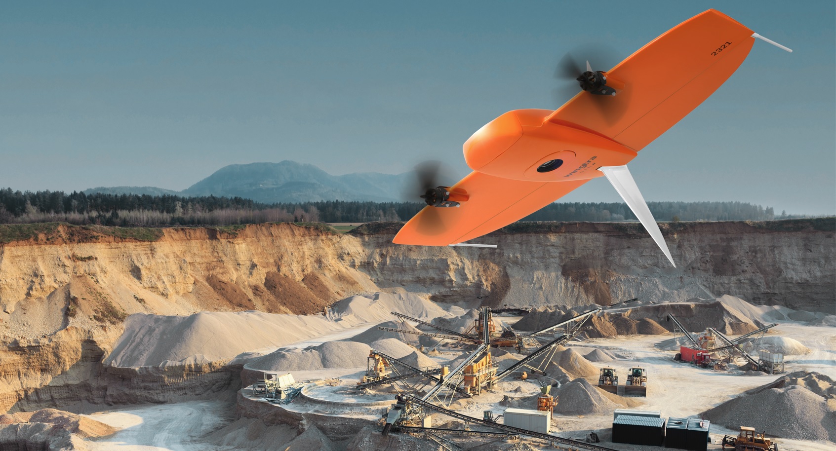
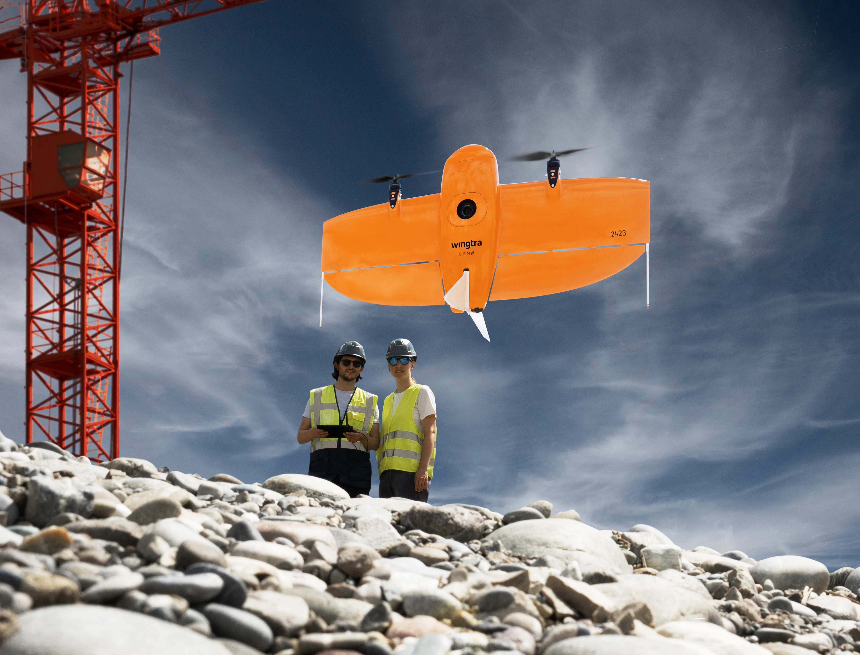
The most advanced VTOL drone for mapping and surveying
THE MOST ADVANCED VTOL DRONE FOR MAPPING AND SURVEYING
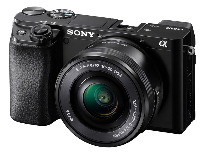
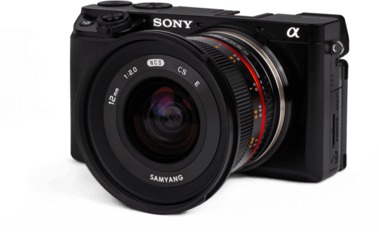
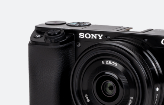
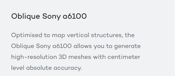
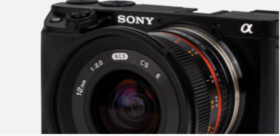
APPLICATION IN YOUR INDUSTRYFind out how professionals around the world have leveraged drone technology in their industry to improve decisions, reduce costs and risks, and improve returns. MAP LARGER, MAP FASTER, MAP ANYWHEREThe WingtraOne vertical take-off and landing (VTOL) drone allows you to conduct small and large-scale drone surveys with unmatched data quality at a fraction of the time and cost. MAP FASTERWingtraOne GEN II’s unique set of features empowers you to minimize your time flying and get more work done, be it another project in the field or analyzing your data at the office. MAP LARGERWhether it’s a highway, an industrial complex or a mine, you can now take on large projects that were previously impossible to map with a drone. And it takes you just a few hours. CUT COSTSFaster data collection and expanded coverage mean fewer people in the field for less time, lowering the man-hour costs associated with data collection. MAP ANYWHEREThanks to its VTOL design, WingtraOne can take-off and land almost anywhere—even in confined spaces or on rough terrain. This enables you to collect data where other drones cannot. DATA QUALITY THAT WILL SET YOU APARTEquipped with a 42 MP full-frame Sony camera, the WingtraOne takes sharp and undistorted nadir images with high pixel density, resulting in a GSD of down to 0.7 cm / px. A RELIABLE WORKHORSENo matter the conditions, WingtraOne operates safely and delivers high-quality data, consistently. A CAMERA FOR EVERY JOBWingtraOne makes no compromises on aerial image quality. Whether you need data for orthophotos, 3D models or multispectral mapping, WingtraOne carries the best camera for every application. As you exchange cameras in the field, various types of data can be acquired with the same drone. |
 |
 |
|||
 |
 |
|||
 |
 |
|||
 |
 |
|||
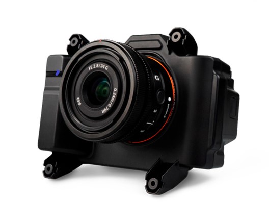
MAP 61. the most efficient mapping sensor from Wingtra
Designed specifically to address the challenges of mapping in complex environments, MAP 61 offers new possibilities for creating detailed 2D maps and accurate 3D models, even in areas that were previously considered too difficult to map
- 61 megapixels
Capture precise, high-resolution maps over large areas. - 93° field of view
Cover more ground in fewer images, reducing flight and processing time. - Inclined oblique mount
For high-resolution capture of single-grid vertical structures. - Up to 460 ha (1140 ac)
Maximum efficiency per flight.

Faster data turnaround. Capture more in each shot and move quickly from fieldwork to final output.
The MAP 61 revolutionizes the way topographic data is acquired. With its wide field of view and high accuracy (horizontal/vertical error of less than 2/4 cm), this sensor enables the creation of highly detailed 3D models of complex structures, dramatically reducing data acquisition and processing time. This accurate and reliable information is critical for a wide range of applications, from urban planning to infrastructure management and environmental monitoring. The integration of the MAP 61 sensor, VTOL technology and the WingtraCLOUD platform makes it possible to tackle a wide range of projects, always ensuring high-quality results and fast turnaround times.

New WingtraCLOUD Software
Discover how to go from mission planning to information sharing, easily and flawlessly, all in one intuitive platform.

Cloud synchronization and digital site management.
No more outdated versions. Keep your team aligned and looking at the same flight plans and project data across all devices and locations. Set up digital sites with related files for easy overview of site progress and completion for all stakeholders.

Base and checkpoint setup and visual feedback on flight quality
Instantly visualize input errors with intuitive map view when setting up checkpoints or a base station. Intuitively monitor and optimize the accuracy of data collection via colored flight path (GSD and height) on your flight plans.

Still have questions? Feel free to contact us to receive more information or to schedule a customized demo. Our team of experts is here to help you discover how WingtraONE can help you achieve your goals.


